Savage River Data
The purpose was to calculate the stream flow of Savage River.
Procedure:
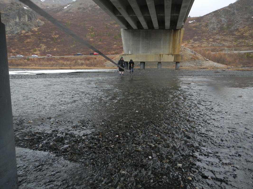
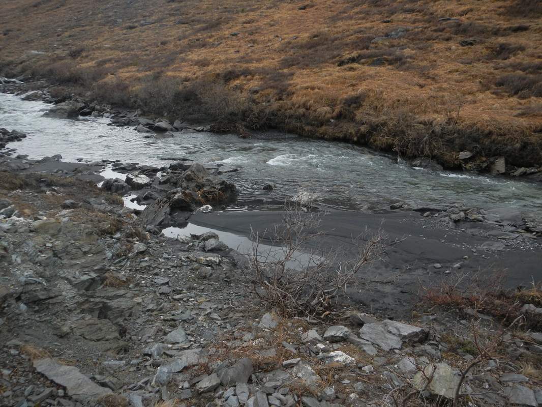
After locating the water source, a tape measure was used to measure the width of the stream. Along the cross section, the depth was measured and recorded at 4 meter intervals. 10 meters were measured out along the length of the river. A stopwatch was used to time how long it took 3 sticks of equal length to float down the river. The average depth was calculated. The average speed of the sticks was calculated. The flow rate was calculated based on these numbers.
After locating the water source, a tape measure was used to measure the width of the stream. Along the cross section, the depth was measured and recorded at 4 meter intervals. 10 meters were measured out along the length of the river. A stopwatch was used to time how long it took 3 sticks of equal length to float down the river. The average depth was calculated. The average speed of the sticks was calculated. The flow rate was calculated based on these numbers.


Conclusion:
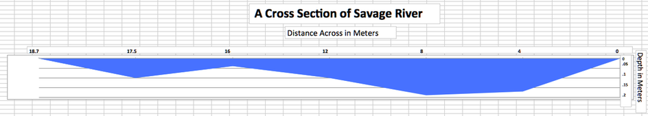
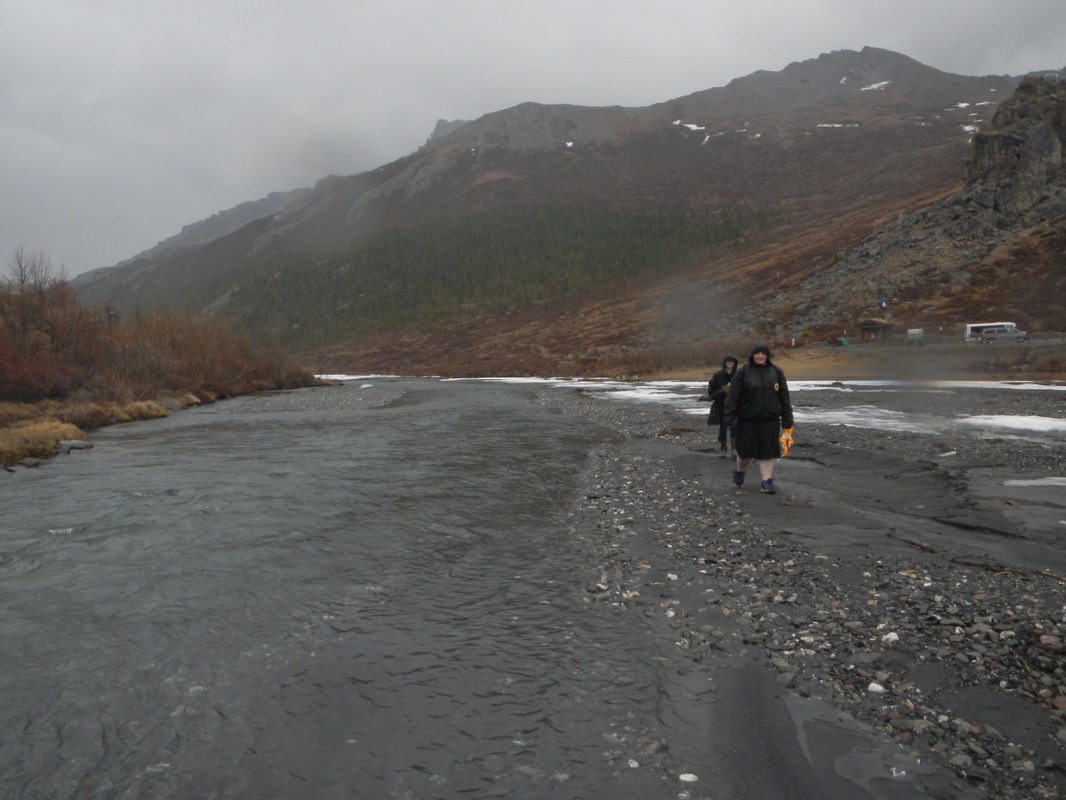
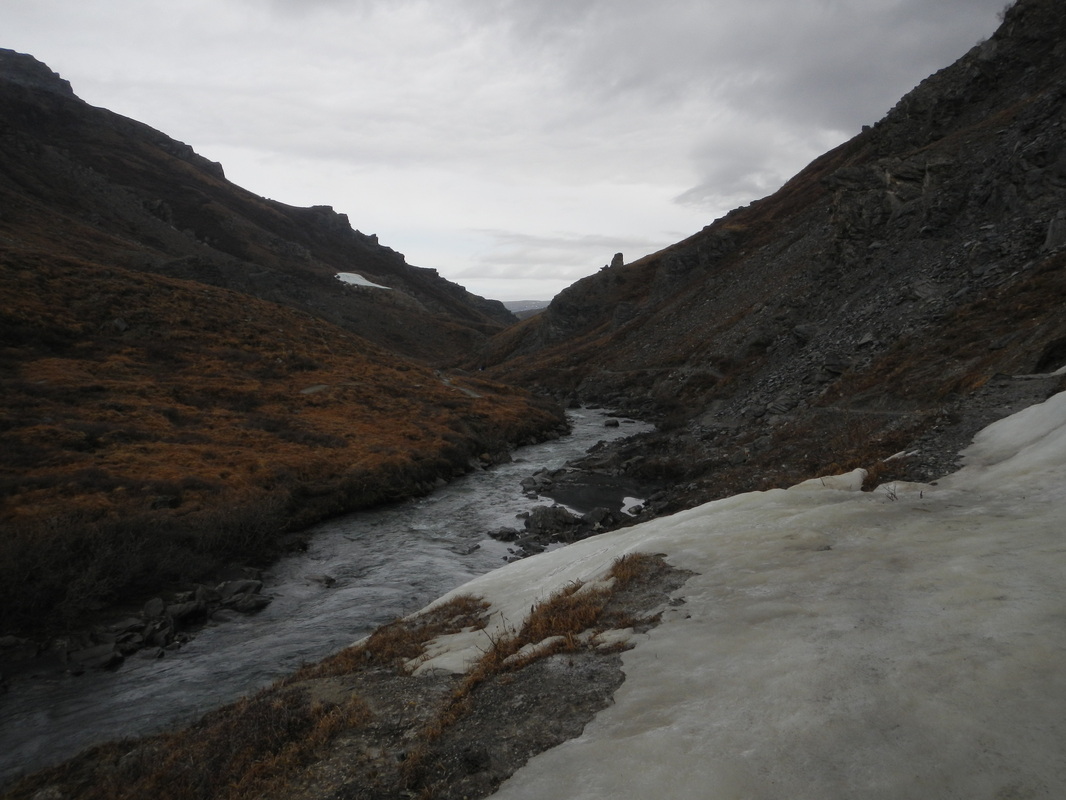
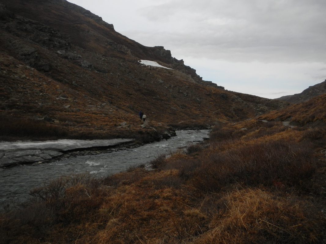
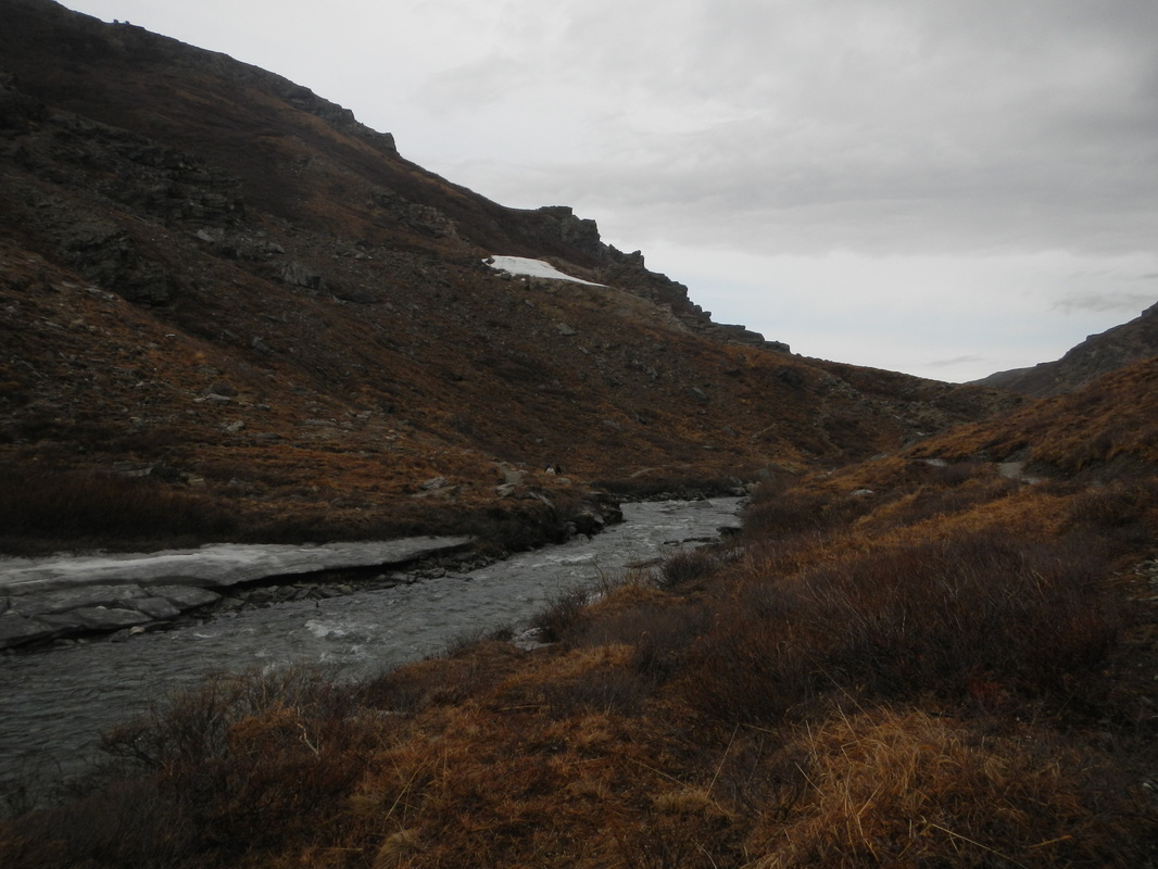
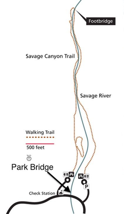
The goal was to calculate the stream flow of Savage River. The Savage River trail runs along both sides of the 16 mile river for 1 mile each direction, creating a two mile loop. There is a footbridge at the end of the loop. At the beginning of the loop is the Denali Park Road, the measurements in this cross section were taken underneath the Park Bridge. The Savage River is 18.7 meters across underneath the Park Bridge. The average depth is .12 meters, see the cross section for individual depths. The average flow rate is 1.86 cubic meters per second. The formula used to calculate flow rate was Depth*Width*Length/Time. The length in this equation was the length measured, not of the entire river. A source of error would have been the wind, at the time recorded (5-13-14) it was raining and the wind was strong. The wind was blowing in the direction the water was moving and could have affected the stream flow.
United States. National Park Service. "Savage River Day-use Area." National Parks Service. U.S. Department of the Interior, 1 May 2014. Web. 15 May 2014. <http://www.nps.gov/dena/planyourvisit/savage-river-area.htm>
Water sample results:
A water testing kit was used to test two water samples from Savage River. The water samples were taken from the middle of the stream and from the edge near the bank. Water was tested for chlorine, iron, copper, nitrate, nitrite, pH, alkalinity, and hardness. All minerals were at about 0.0 parts per million. The pH of the water was approximately 6, which is slightly acidic. This can be explained by the fact that most of the soil in Alaska is acidic.
